
The city is an undeniably human creation, full of our emotions, impressions, and experiences. Yet the policy and regulatory processes that govern the city are often evidence-based. Unless a viewpoint or submittal is validated by experts, these processes may preclude the ability of an individual to have a meaningful impact on urban change. In official deliberations, as elected officials have often told me, the potential human experience is underemphasized in favor of tangible structures, cross-sections, and models.
Accordingly, how can we re-infuse process with all-important attention to the human experience? How to account for the irrational and unplanned, for the juxtapositions that infuse a city with energy, both positive and negative? In a practical sense, how can all this come together in a meaningful way to reform and reframe our process for civic decision-making?
As I have emphasized over the last year since the release of my book, Seeing the Better City, we are just beginning to scratch the surface of possibilities for documenting through our own “urban diaries” and related collaborative efforts, toolkits, smart-city “data-driven” approaches, and new approaches to long-term planning efforts.
Converting idealistic notions of better cities into concrete and discernible results is a significant challenge—essentially demanding a move from plan to action. The more subjective, creative, emotion-based approaches of human experience seldom convert easily to the language of land-use applications, plan review, public hearings, and appeal processes, other than by narrative testimony or photographic exhibits. The rational processes of democratic decision-making often reduce matters to text-laden decision criteria that emphasize code compliance, neighborhood compatibility, and environmental and traffic impacts. In fact, this necessary search for objectivity may purposefully deemphasize emotional response, urban traditions, or equitable outcomes.
The system, therefore, needs to be reinvented from within. This reorientation need not be as daunting as it may sound, especially if, in the end, we are discussing the documentary efforts of individuals as complements, or supplements, to the conventional regulatory process. If visual submittals become public comment, equivalent to written or oral testimony, or are used as submittals for discussion during formal or informal mediation, then they will come into their own as colorful, illustrative, and demonstrative adjuncts to existing forums for decision-making and dispute resolution. Urban observation will then be more than the purview of the dilettante, or fodder for elicited photography or app-based expressions.
Technology provides new tools of participation in our surroundings and a legion of sources and opinions about how best to experience the city. From casual smartphone camera use to participatory photography and mapping, mini-ethnographies, oral histories, and “now and then” nostalgia, ideas and approaches for sense-based documentation can be readily acquired online, at meet-ups, or organizational events. So many approaches, without cross-references, provide no central organization about how our personal urban experiences can meaningfully be put to work; useful precedent from other disciplines is often unacknowledged, and the end game is often unclear.
We may resolve to learn from such technology-based tools, but on the other hand we less often see cohesive organizational strategies for putting “notable/sensational” media and blog stories to work. Raising awareness is good, observation and contextual understanding is better, but the best outcomes will result when we move beyond observation for observation’s sake. We should incorporate more visual urban diary–like documentation of human need and routine into the evidence that forms the basis for civic decision-making.
In legislative hearings as well as quasi-judicial hearings, the use of photographs is already standard. In more-formal settings, rules govern the steps that must be taken to enter such photographs into a record. In law school evidence class, students learn the hearsay rule, which requires a courtroom witness to have firsthand knowledge of the truth of an assertion. Budding lawyers also master the rules for authenticating photographs for use by judges and juries, the principles of which usually apply to the less formal administrative process as well. At the core, the rules often address some elements of authenticity, such as the date and location of the photograph, and the identity of the photographer or source. If a photograph can be reasonably sourced and identified, and has relevance to the matter under discussion or review, then its use is usually not a problem.
We need to better wed the subjective, soft city—the personal, observed city—with the city of decision-makers and the projects presented by the marketplace. This combination presents a considerable challenge and requires that we merge “rationality with imagination, the prosaic with the dream world, the planned with the unexpected. . . .” (Mohsen Mostafavi, “Tale of Cities,” in In the Life of Cities, ed. Mostafavi (Zürich: Lars Müller, 2012), 15. Here, urban diaries can lead the way as exemplary, inspirational, three-dimensional portraits of the most authentic and suitable visions of improved daily lives for the constituents of elected officials—urban residents themselves. And, of course, better cities will emerge when decision-makers see that these portraits align with marketplace proposals.
In 2015, as part of the “Future Freo” visioning process in Fremantle, Australia, I watched Mayor Brad Pettitt present a Powerpoint narrative on potential future development strategies for his city after he’d made a Northern European study tour. Mayor Pettitt’s approach suggests that elected officials could compile—and perhaps present—urban diaries on a regular basis, consistent with the ideas linked above.
In recent years, the real estate market has also seen significant value in the walkable, compact city that is often the inevitable focus of urbanism photographs and associated urban diaries. The internet teems with development-oriented images of streetcars and bicycles, walkable environments and healthy, exercise-oriented urban living, with plenty of shared transportation alternatives.
But is this urbanism the inevitable result of choices made by municipal governments and the real estate marketplace?
In short, can photographic imagery—as both art and archive—indeed help change cities for the better? Such imagery, if presented in context, often provides motivation for policy-makers to undertake their own explorations of how to move from plan to action.
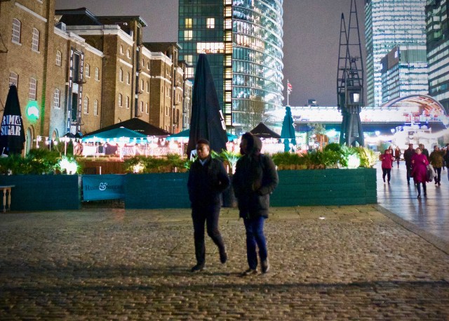
Adapted from Wolfe, C.R., Seeing the Better City, (Island Press, 2017). Image composed by the author in London. © 2009-2018 myurbanist. All Rights Reserved. Do not copy.


